
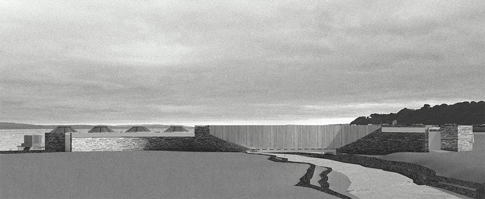
Combing for the Commons seeks to re-imagine the intertidal zone around Lough Foyle as a shared civic and ecological space, creating an architecture of socio-ecological stewardship which supports the formation of an intertidal community.


Molly Sinclair
Combing for the Commons: An intertidal architecture for socio-ecological collectivity in Moville
Follow:
Project description
Lough Foyle
Lough Foyle is a large 218km² estuarine body of water which spans from the river Foyle in Derry to where it meets the Atlantic Ocean. The Lough has long been classed as a contested watershed, given its position in relation to the border between the Republic of Ireland and the United Kingdom.
The border is inherently tangible on land, but becomes ambiguous where land meets the sea, with the ownership of Lough Foyle’s waters still disputed to the present day.

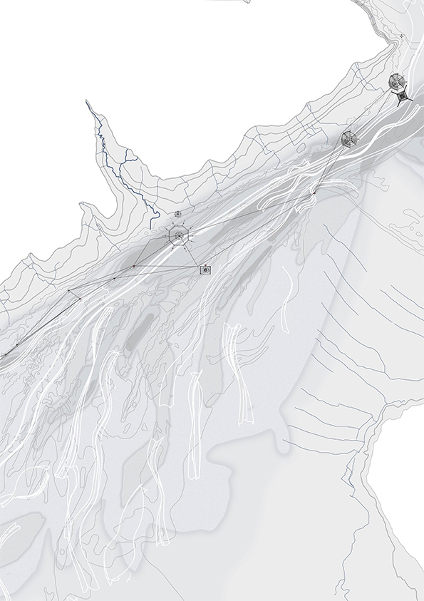
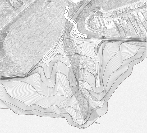
Intertidal Territory: Currents in the network of passage and flow through Lough Foyle
Initial investigations of Lough Foyle as a territory were inspired by thinking through a ‘wet ontology’, as outlined in the writings of geographers Paul Steinberg and Kimberley Peters.
To think with a wet ontology is to abandon the typically adopted cartographic notion in bordered territories such as Lough Foyle - to think of the water body flat plane; and instead re-imagine it as a constantly shifting volumetric form which exposes a dynamic world of connections, forms, patterns and flows.
Through identification and study of a series of interconnected networks spanning across Lough Foyle, consideration was made to the hydrodynamics which shape the existence of its marine navigation network.

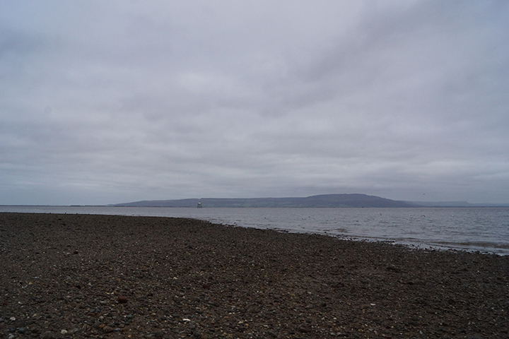
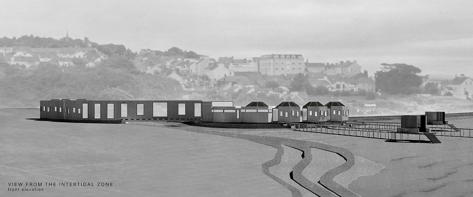
The site of the project, Moville, is a heritage coastal town in the Republic of Ireland, where a large intertidal sandflat sits adjacent to the strong currents of the primary shipping route through Lough Foyle. This makes its dynamic intertidal zone unique, in that many objects, and subsequently stories, are carried through wider waters and washed ashore.
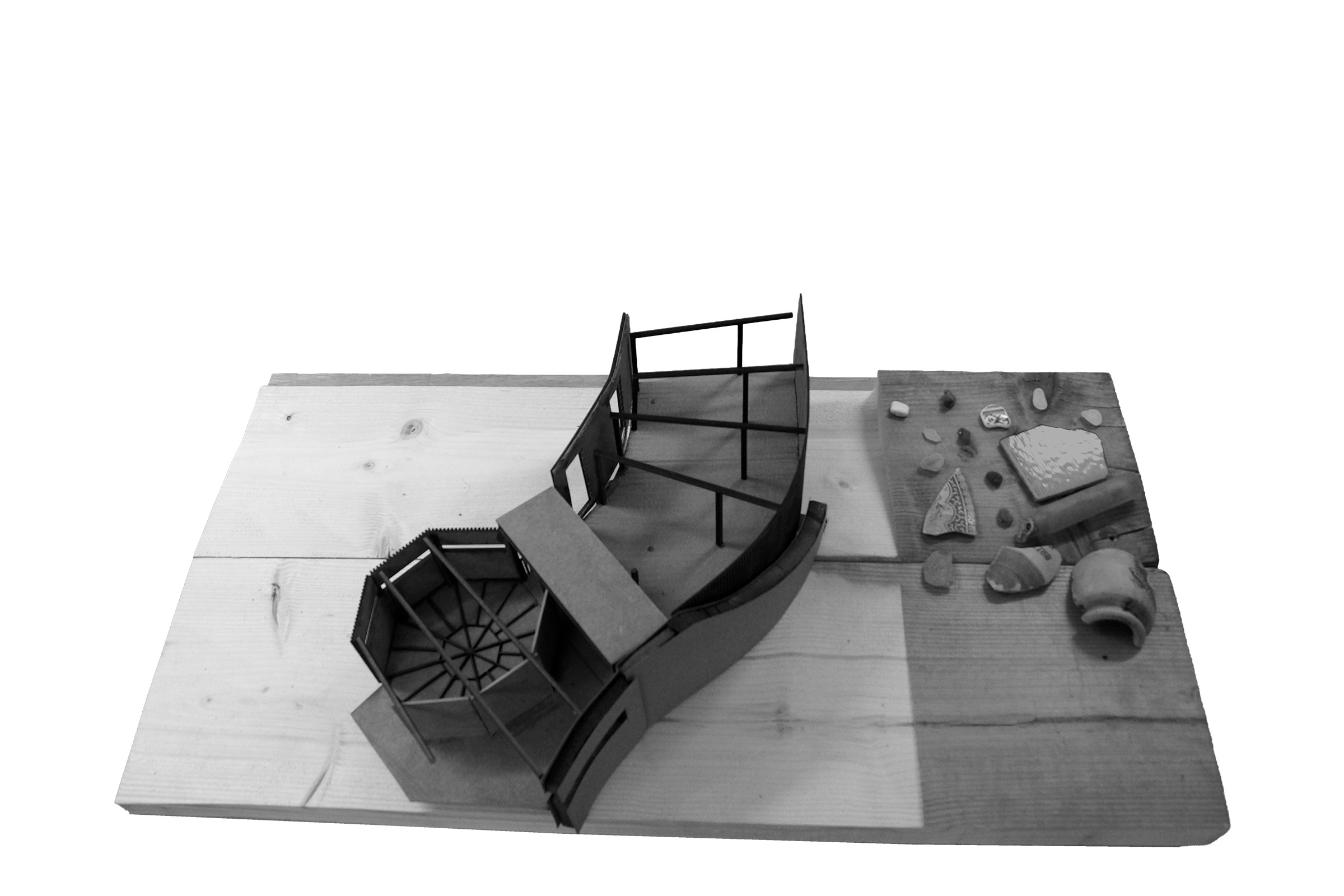
Initial architectural investigations focused on creating an architecture on Moville's intertidal edge to facilitate beachcombing - encouraging a public which takes interest in the stories carried through the currents of Lough Foyle.
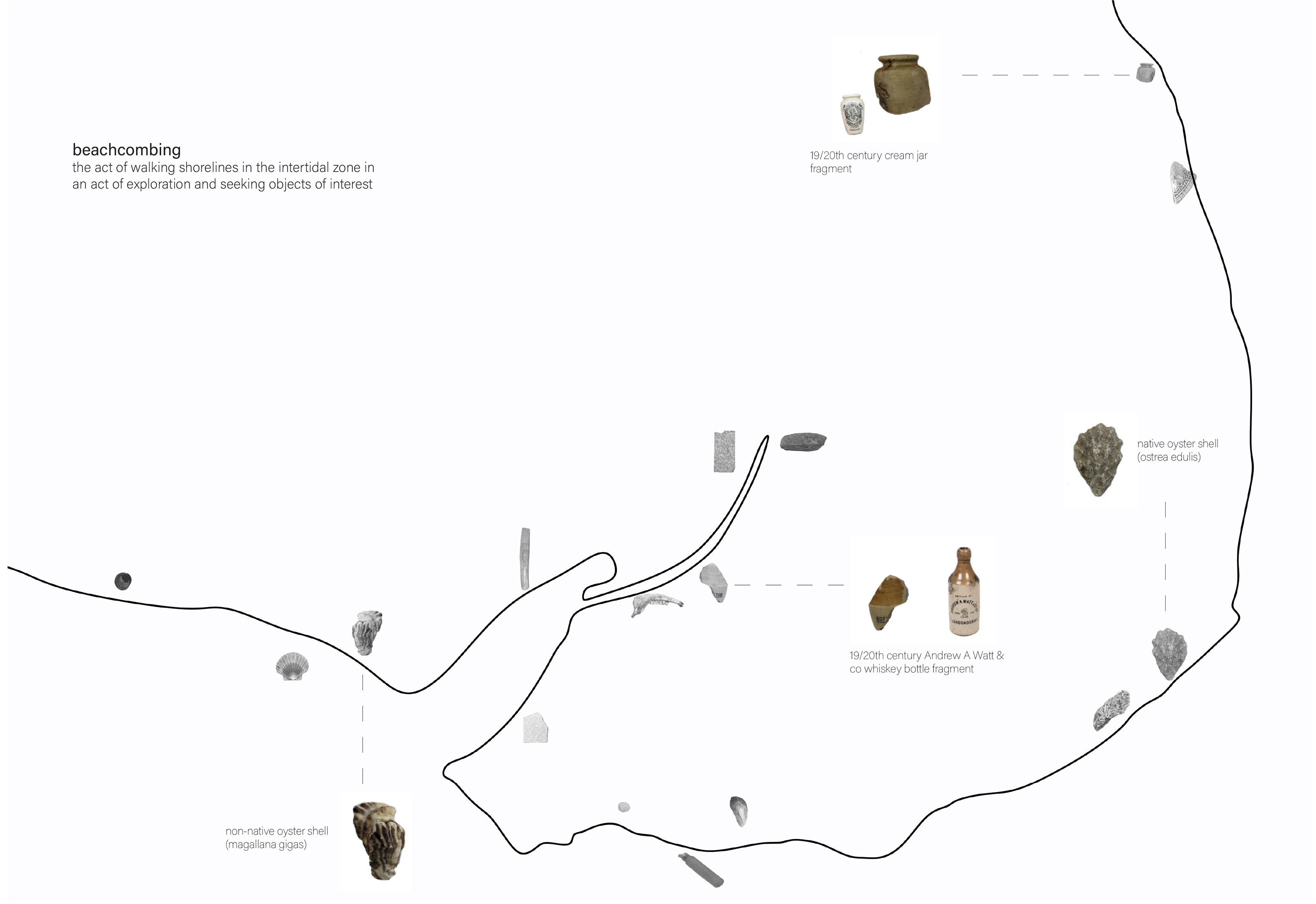
Small scale investigative project imagining an architecture for beachcombers.
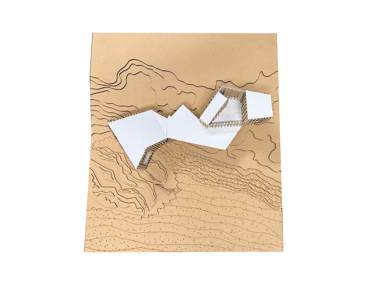
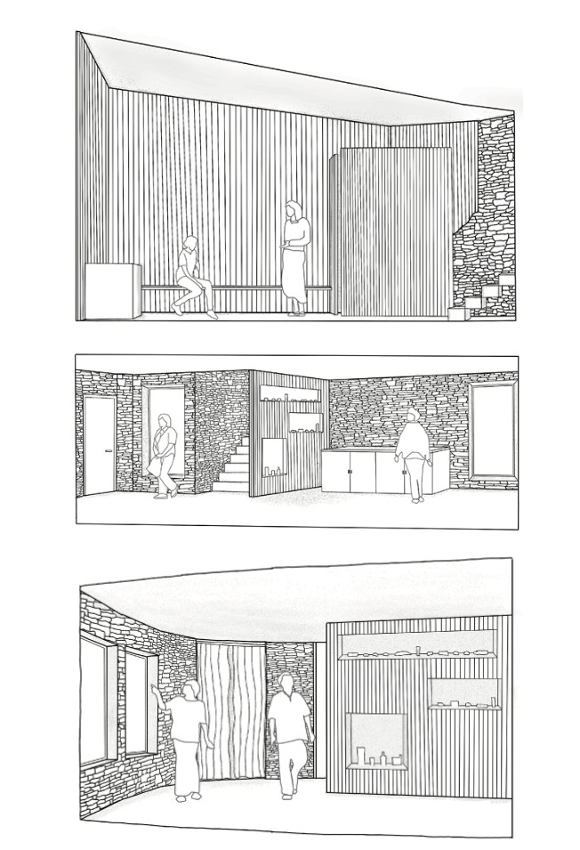
Combing for the Commons
In a drive to meld research surrounding hydrodynamics and stories of the water, with the idea of engaging institutionally and materially with place through defining situated publics - a programmatic brief was defined which took cognisance of all strands of research undertaken surrounding Moville and the intertidal zone.
The programme seeks to provide spaces for different situated communities to come together in the unique intertidal zone at Moville. Each existing situated public included in the programmatic brief has a link to the intertidal zone - with the addition of programme to support a new imagined public of beachcombers. This connection of all building users to a common place seeks to encourage formation of a community of the intertidal.
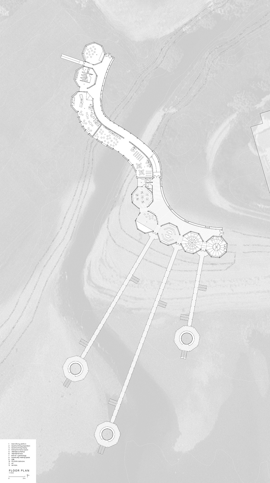
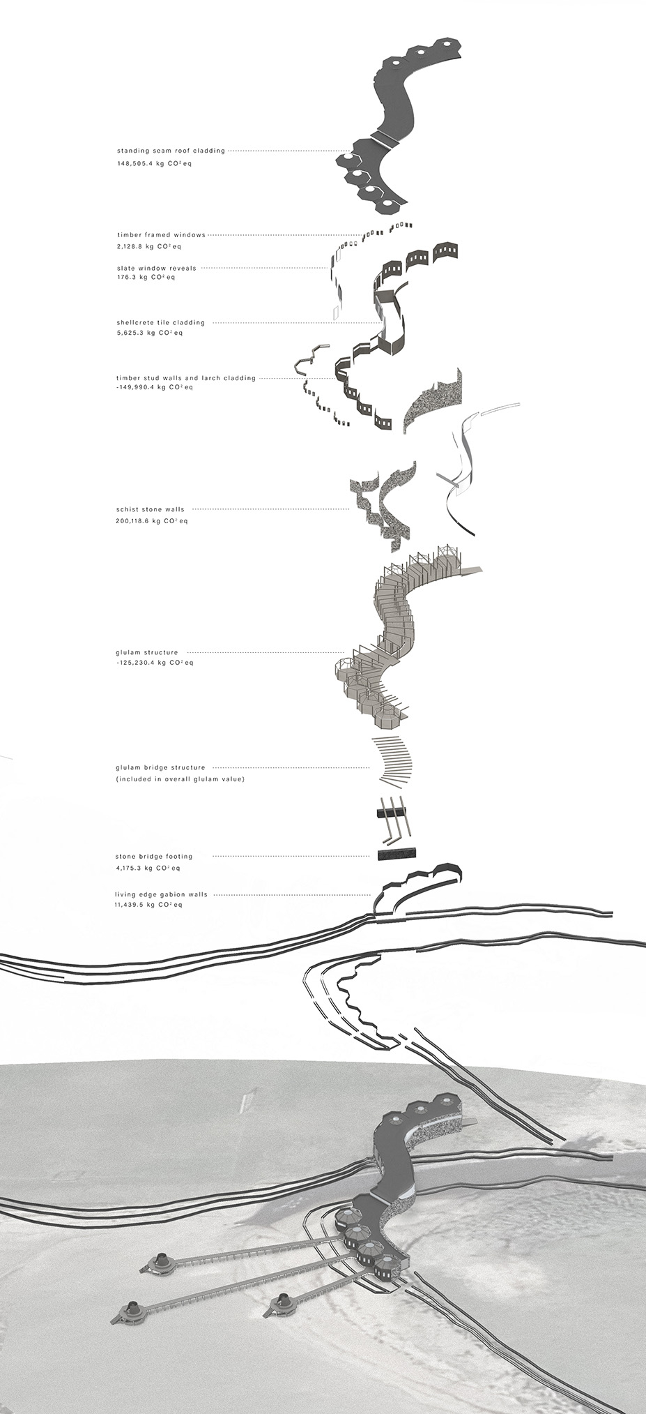
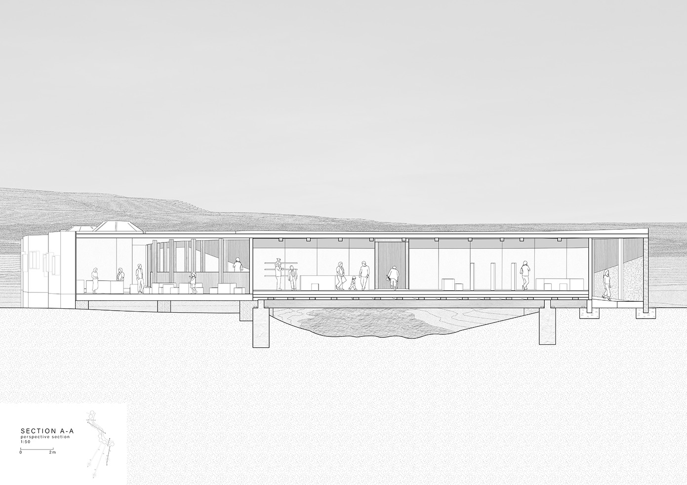
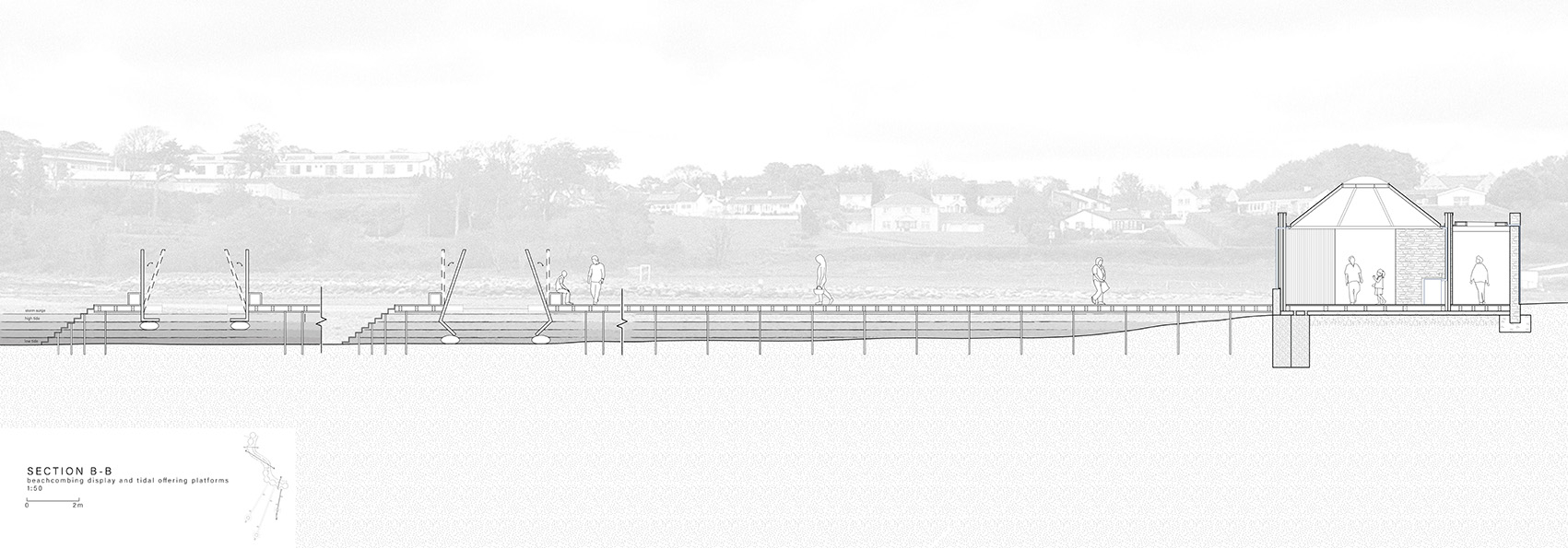
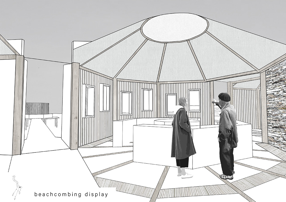
Located on the edges of a low lying coast at threat from rising sea levels, a combination of architectural and living edge landscape interventions seek to strengthen the coastal edge and encourage a more ecologically biodiverse habitat. Following the flow of the existing land contours, the building emerges from the living edges and acts as a bridging structure across a river delta, activating new links between Moville’s town and coastline. Considering the notion and act of beachcombing, the building holds smaller octagonal volumes along a bridging circulation spine - allowing for the meandering of people, light, sound and air.






Skills & Experience
- Architectural Assistant - Architype (2023-2024)
Share: