Project description

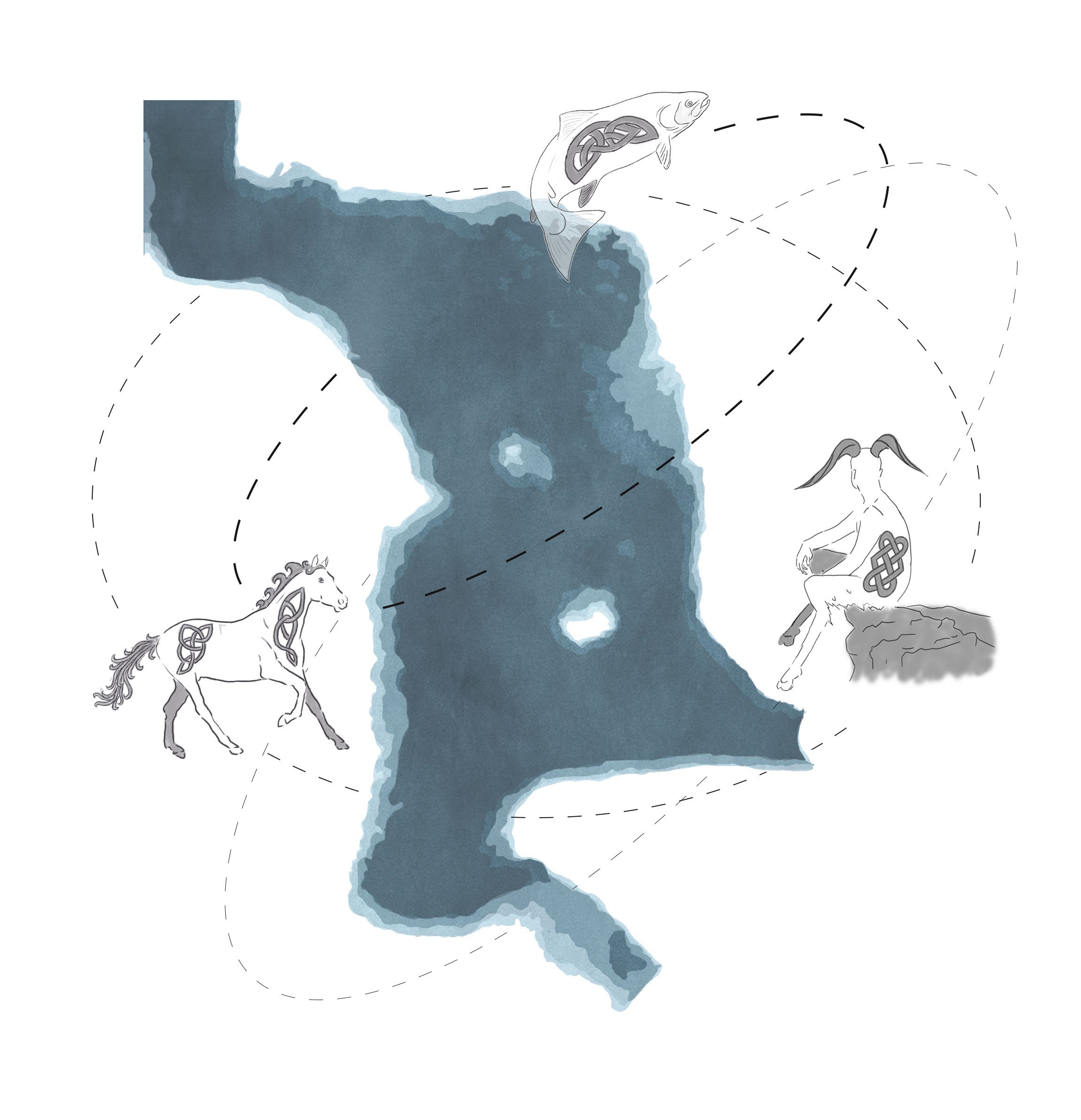
Tùsan Linne Mhoireibh, meaning Origins of the Moray Firth in Gaelic, works with the Highlands strong sense of culture and historical connections which are intertwined through the water system running through the landscape. Proposing a new future in the form of a framework of ‘Hydro-ecological Commons’ which aims to return agency to both human and non-human inhabitants of the landscape and promote wider landscape change.

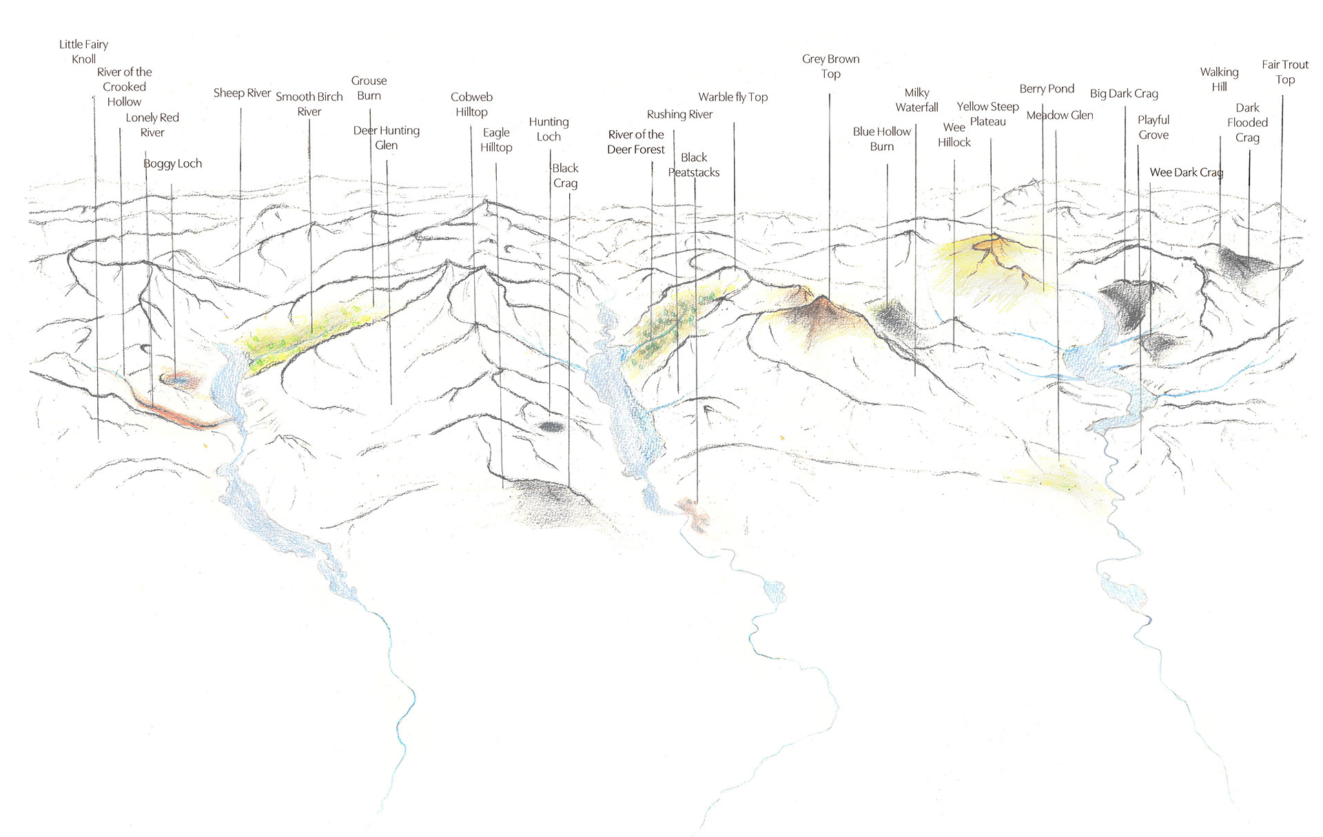
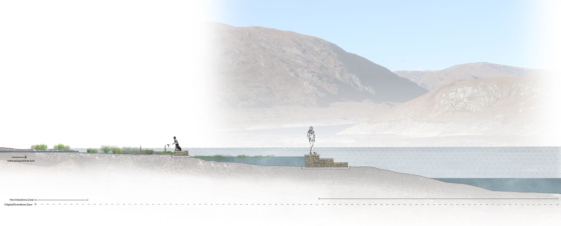
Bruno Latour refers to what he calls ‘missing masses’, anything from people to non-human life- to inanimate objects which he argues have been ignored socially, politically or philosophically despite their presence in everyday lives. This project proposes that the hydrological system is a ‘missing mass’ that despite the heavy presence of water in this landscape which runs through and connects the whole network of glens and straths down to the firth, the system has been constrained and commodified by private ownership of land and the hydro-electric scheme which has removed any agency over the landscape. 

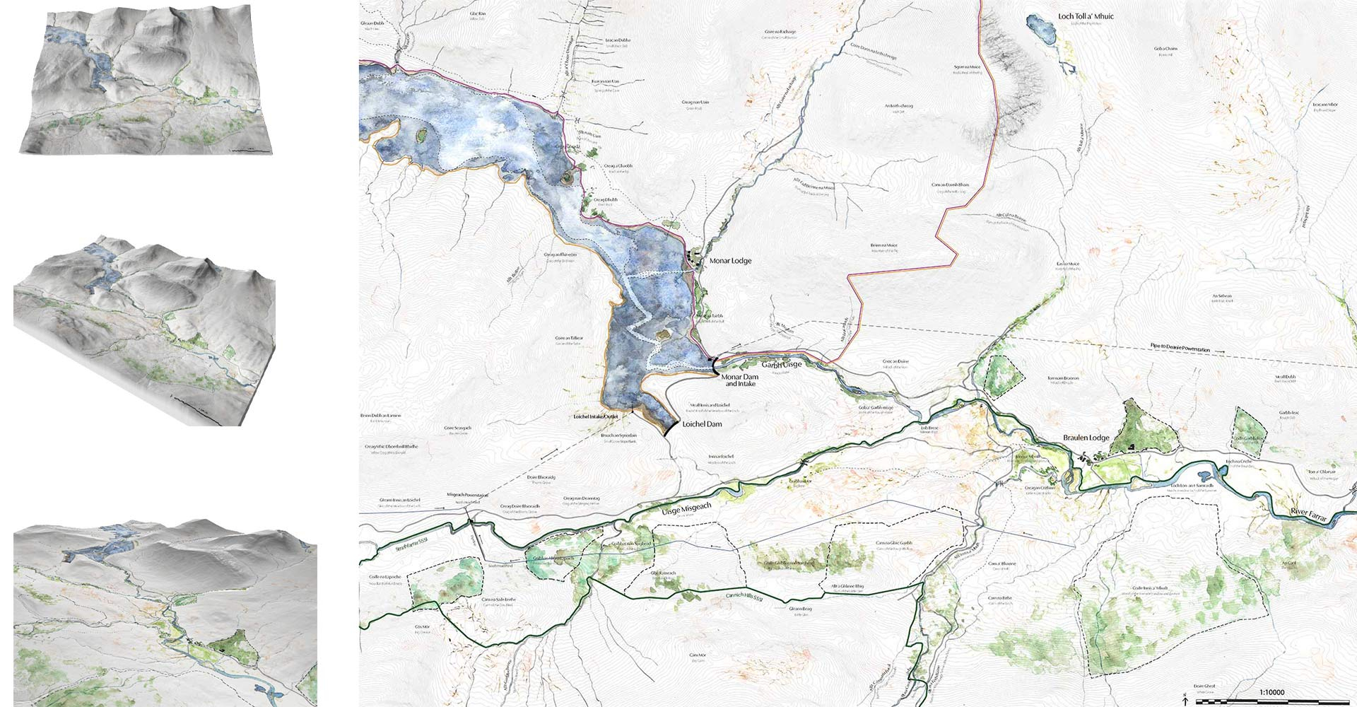
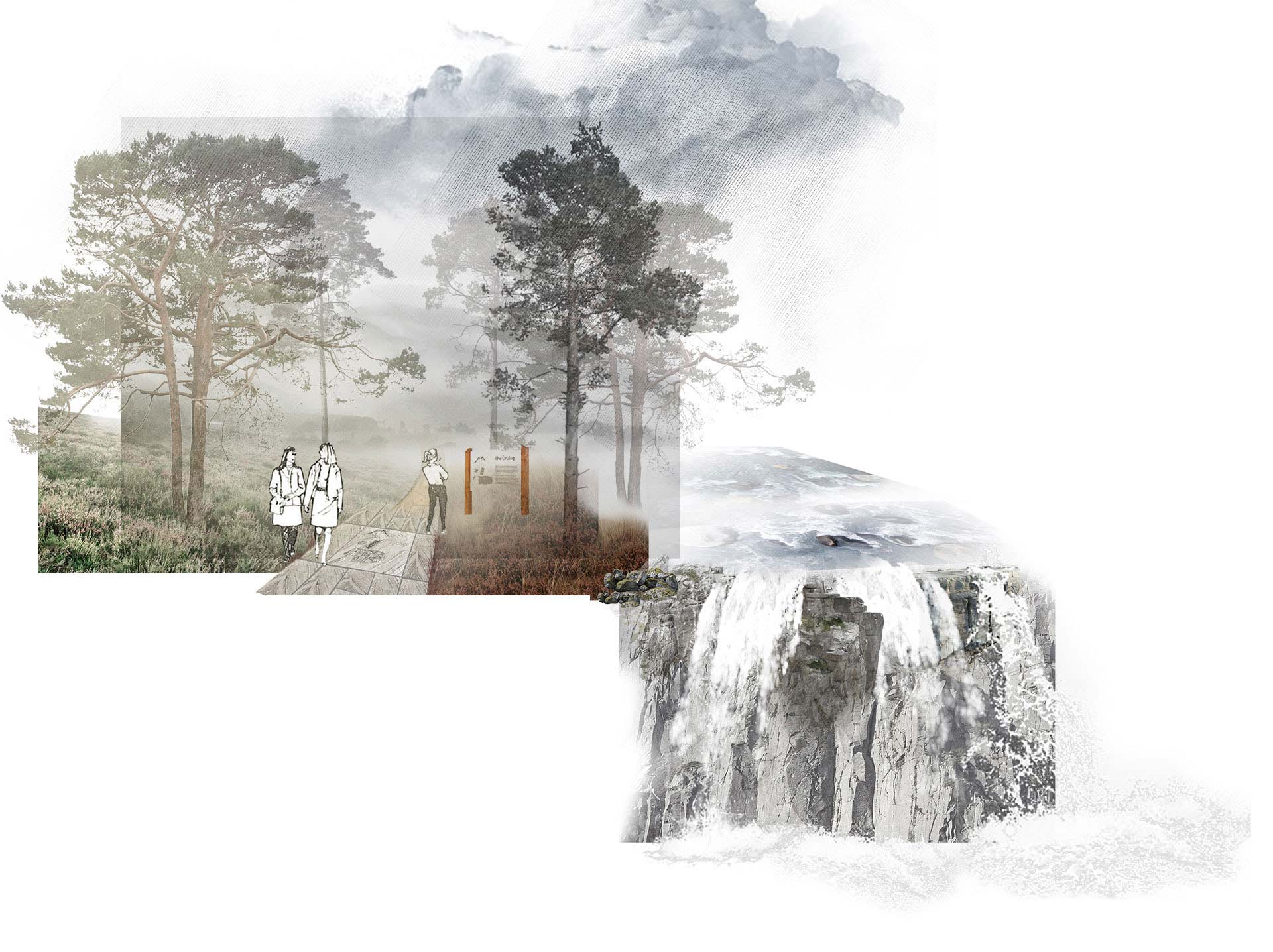
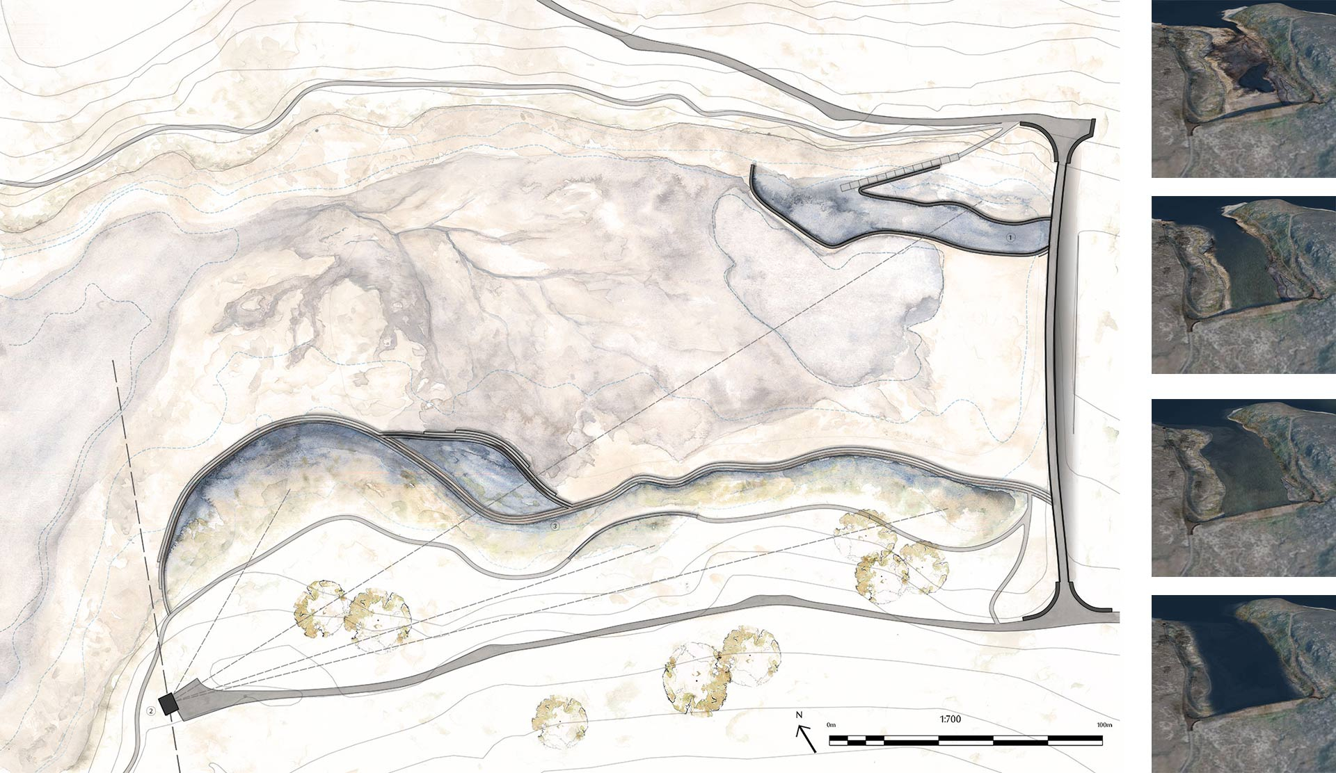
This project moves from watershed scale down to exploring how a Hydro-ecological common would manifest in Strathfarrar- in the upper part of the Beauly Firth catchment, a landscape which community’s connection to the landscape has been cut off over and over again in the last few centuries. Working with local heritage and water management to build a positive and meaningful future.

Mixed media plan of the watersheds of the rivers Beauly, Conon and Ness with gaelic place names with translation and hydroelectric infrastructure expand
Watershed of the Rivers Beauly, Conon and Ness
Dùthchas

Dùthchas is a Gaelic concept referring to the relationship between people and place which is embedded in the Gaelic language and culture. A once prevalent language in the Highlands, today Gaelic place names reveal information about the landscapes past and present. Mapping out everything from land uses, geographical features to the atmospheres and impressions created by the landscape.

Water is an incredibly atmospheric element and therefore holds an important place in many cultures, Gaelic included. Water, in particular deep water, were seen as gates to the Gaelic otherworld as deep water often symbolised the unknown and the fear and uncertainty which stems from it. As a result there are many Gaelic stories, myths and spirits which revolve and relate to water. This folklore often blurs the boundaries between human and non-human, exemplifying the close relationship between people and the landscape.

‘A myth is a patch of soil where we can plant the best practices of a community: how to relate to each other and to our shared ecosystem’(Nic Craith, 2025) 

Nic Craith talks about the idea of ‘cultural darning and mending’- using folklore narratives and heritage as a starting point from which to build a positive future which is rooted to landscape connection but is people oriented.

Axonometric pencil and coloured pencil drawing of Glen Affric, Glen Cannich and Strathfarrar with gaelic place name labels and interpretations expand
Gaelic Place Names of Glens Affric, Cannich and Strathfarrar
Watercolour plan of Strathfarrar with digital models
Strathfarrar
Hydro-electricity

The hydro schemes which litter the Highland landscape represent a large-scale anthropocentric intervention on an incredibly powerful natural system. However, despite this the hydroelectric schemes in the North of Scotland are deeply intertwined the culture of the landscapes they are placed in, they displaced and shaped communities. The inhabitants of the glens and straths in which they are placed played a major role in their construction and hold a deep sense of pride relating to green energy production and the achievement which they represent. 

The Hydro-ecological Commons framework proposes that the hydroelectric scheme which runs through the Beauly watershed be transferred into the hands of the community, allowing them to take an active role in their landscape. In Strathfarrar the creation of a Hydro-ecological common brings people back into a landscape they were previously displaced from and provides a new future for the existing hydro-electric infrastructure.

Digital collage, visualisation of a path next to a waterfall
Water colour plan showing base of loch and design behind loichel dam in strathfarrar with digital models showing the effects of water level fluctuations on the design
Loichel Dam

The damming of Loch Monar in Strathfarrar results in dramatic water level fluctuations, particularly behind the loch’s secondary dam at Loichel. Here the draw down zone created by water leaving the loch to generate turbine halls is so dramatic that ecology struggles to establish and take hold on the loch edge. A series of retaining walls which catches and holds water as the loch levels retreat, minimises the draw down zone and creates a space which invites people to interact with the loch. The dynamic nature of the loch means that it will be a different experience every visit, as the water levels hide or reveal aspect of the design. 

Section line showing steps and pools built into the loch edge with strathfarrar scenery in the background and gradual lines showing varying water level change expand