

Troon’s coastal identity is fading. Located on the Ayrshire coast, Troon was once a busy holiday destination for Glaswegians but has since been overshadowed by international travel and the accessibility of cheap flights. This project proposes a series of design interventions to renew public perception of Troon and revitalise its identity as a coastal destination.
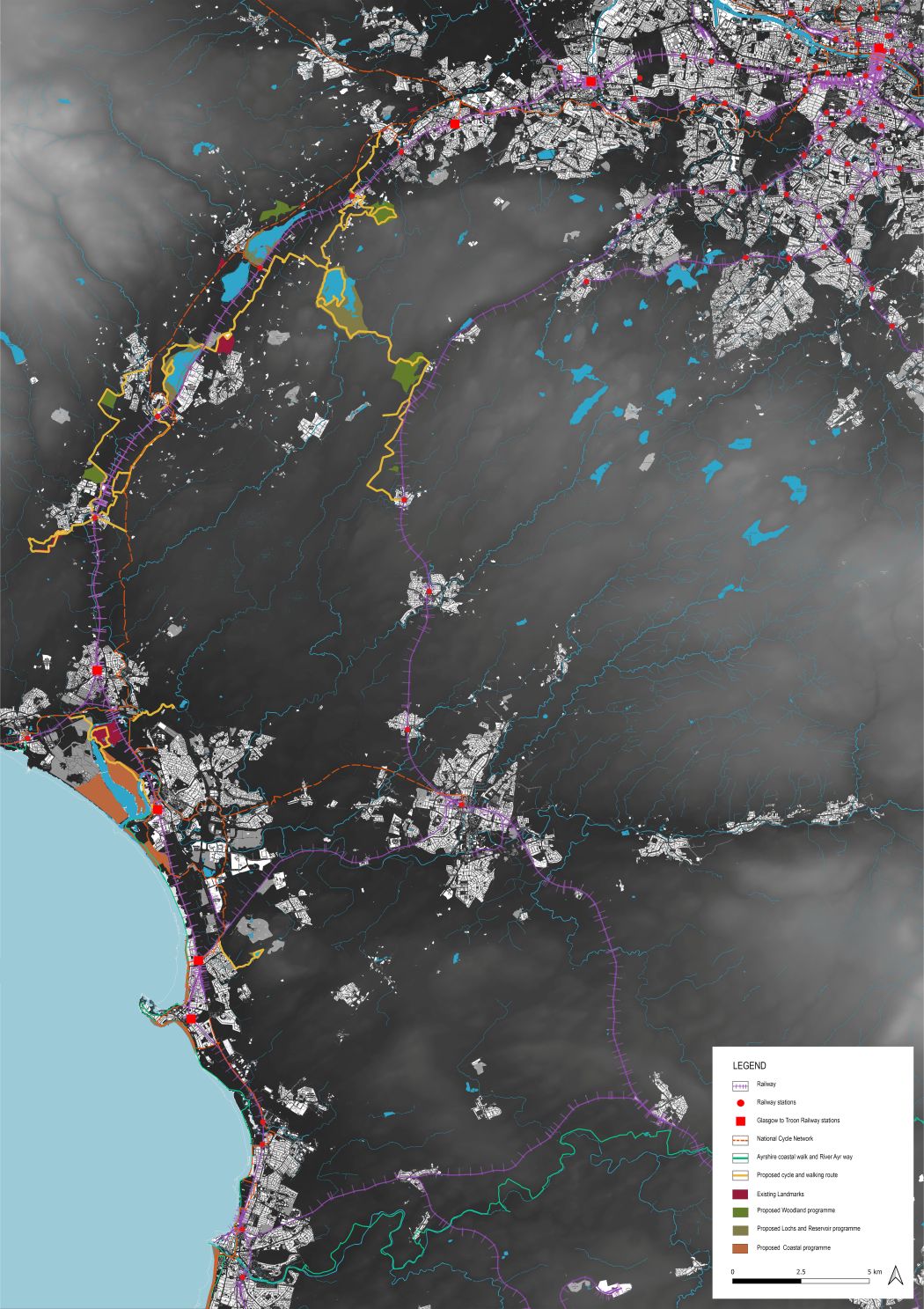
The wider project strategy introduces a new active travel route from Glasgow city centre to Troon, combining a hop-on, hop-off train and cycle network with a sequence of stop-off activity points along the journey. This broader proposal aims to reframe the journey to Troon as part of the visitor experience, strengthening connections between Glasgow, the Ayrshire coast and the town itself.
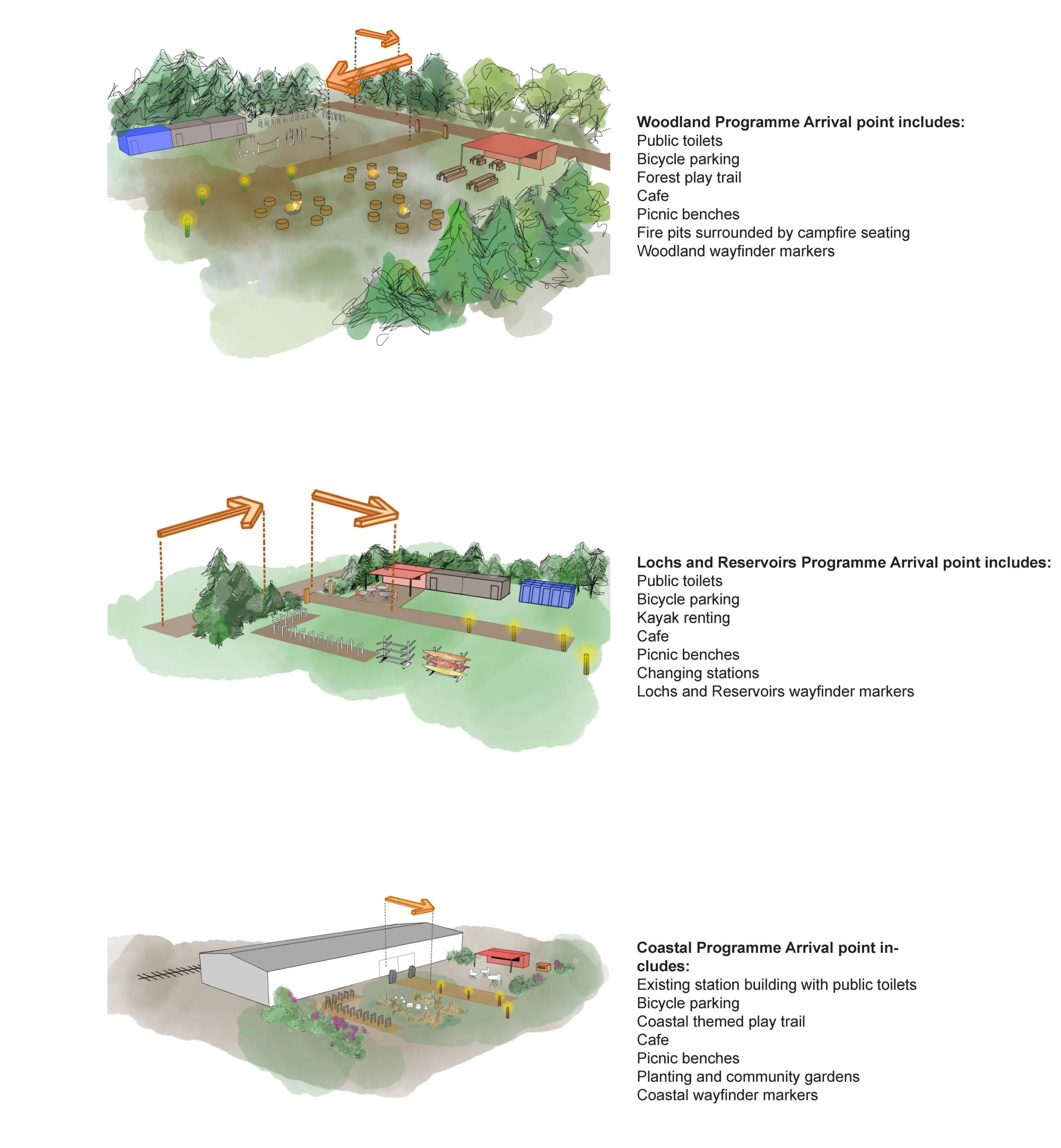
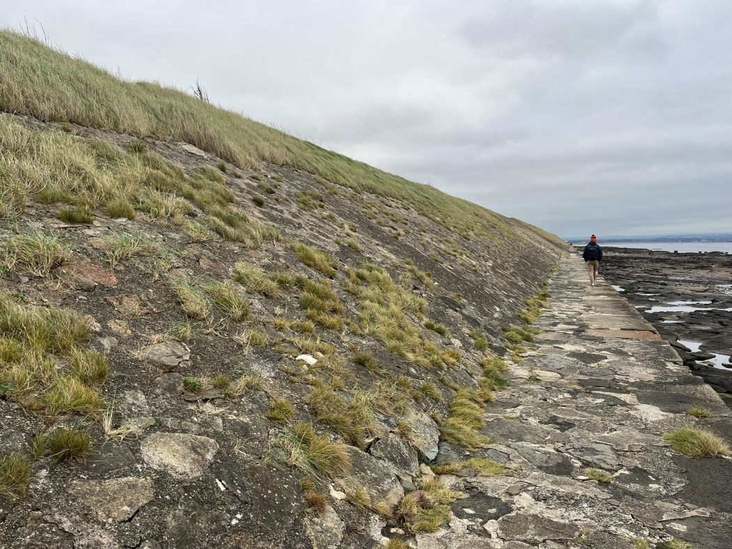
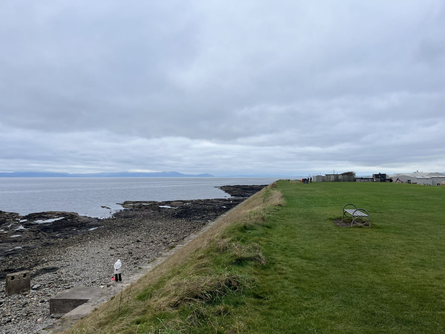
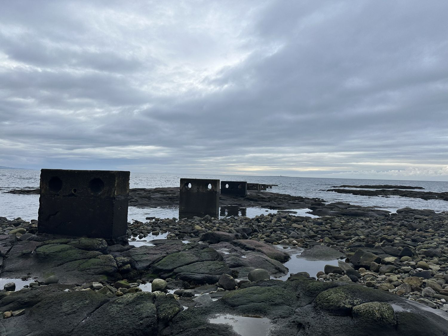
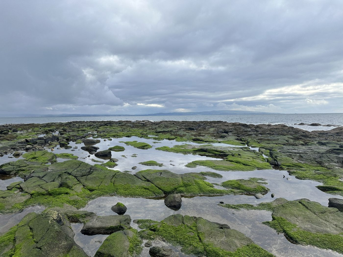
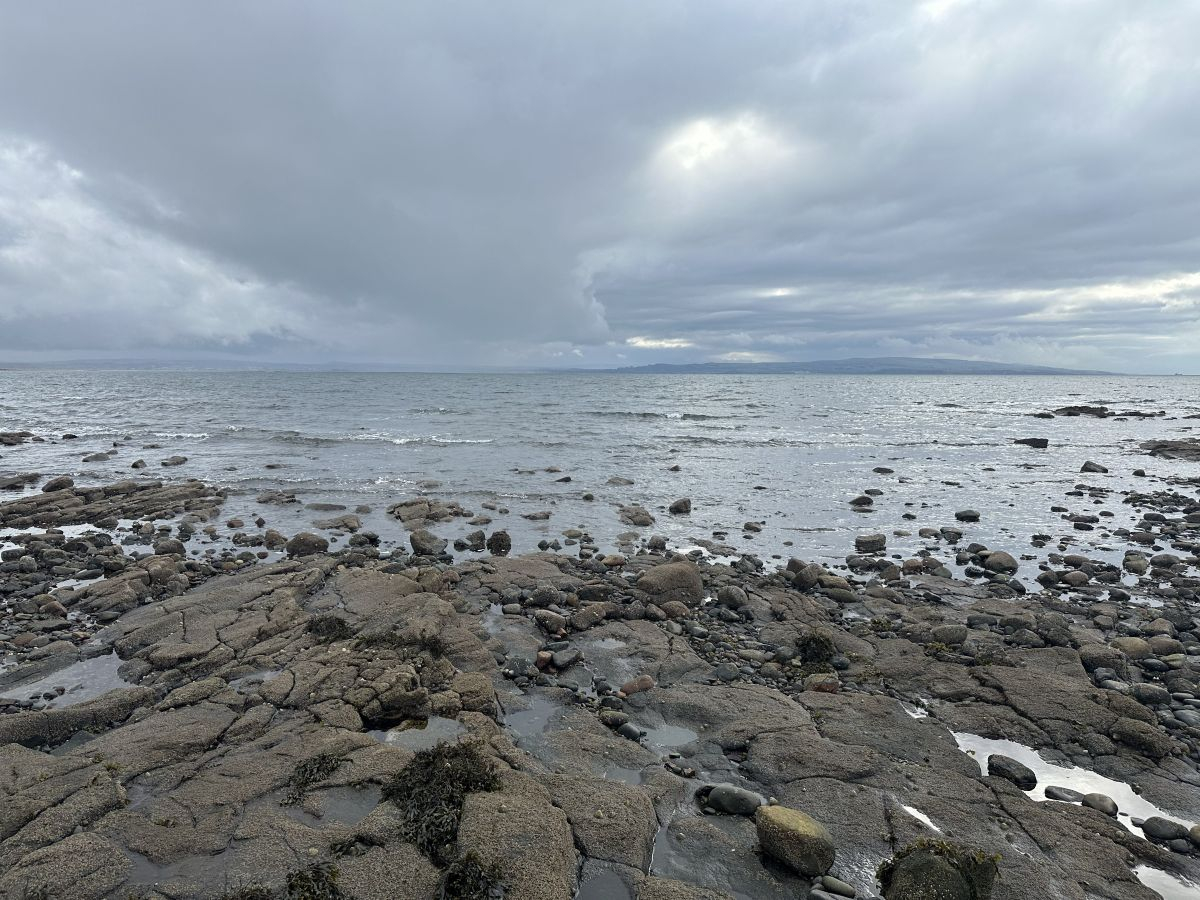
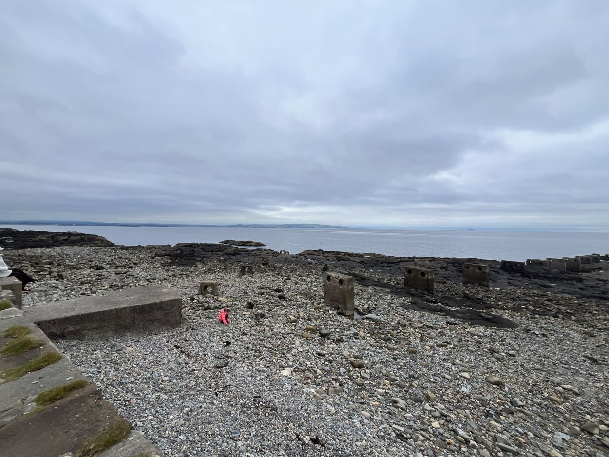
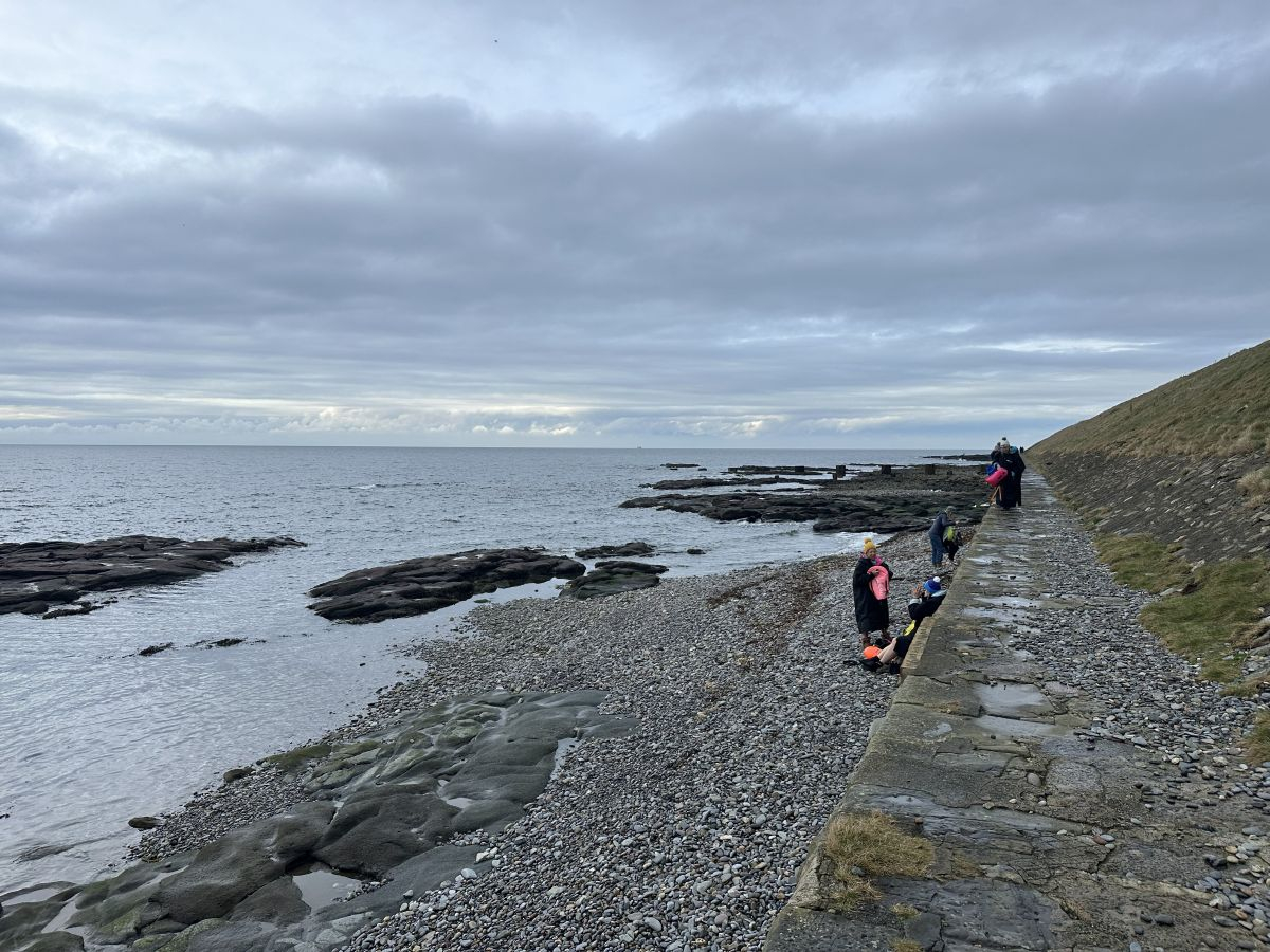
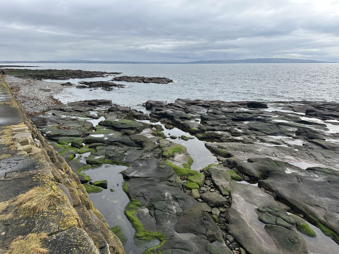
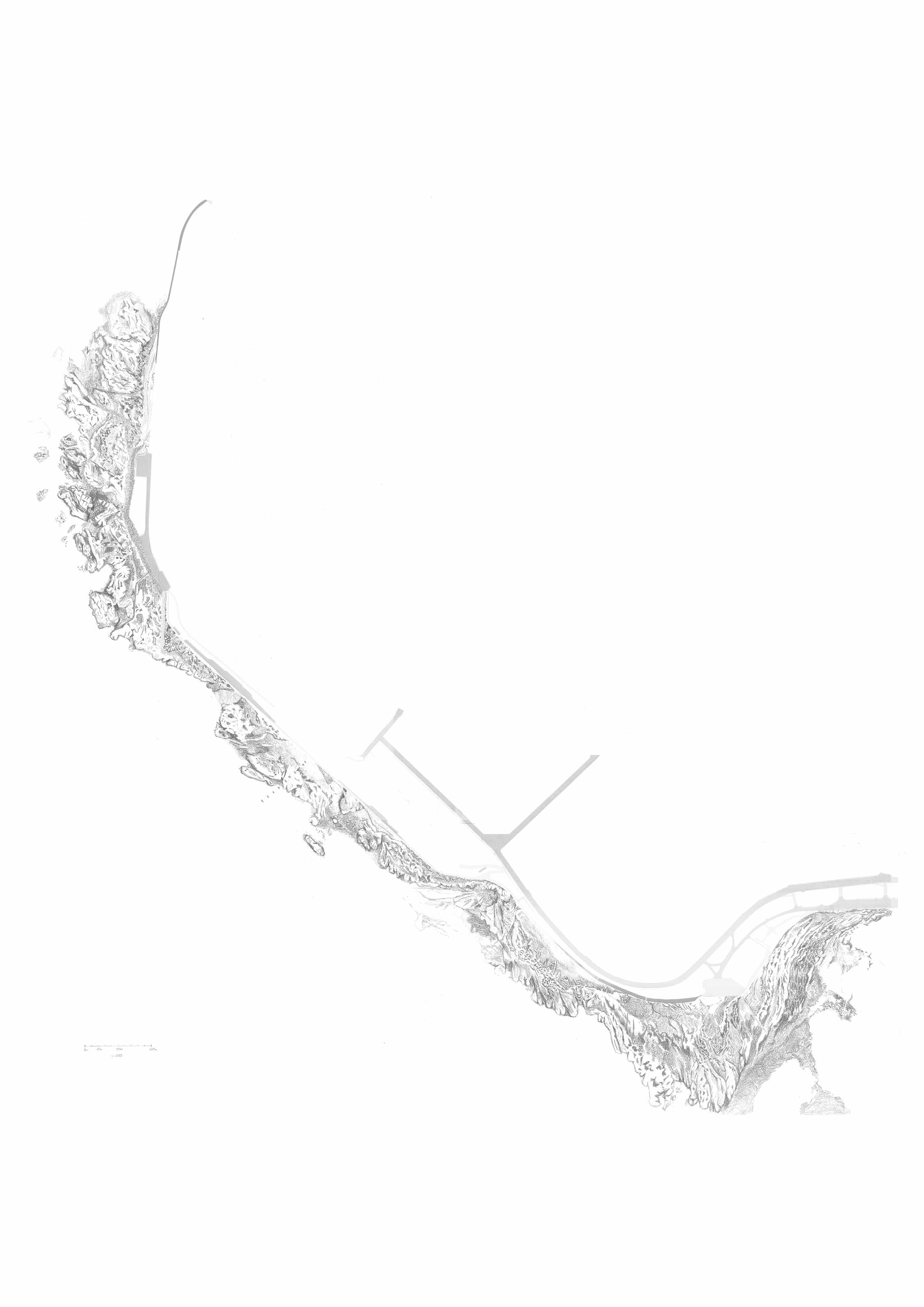
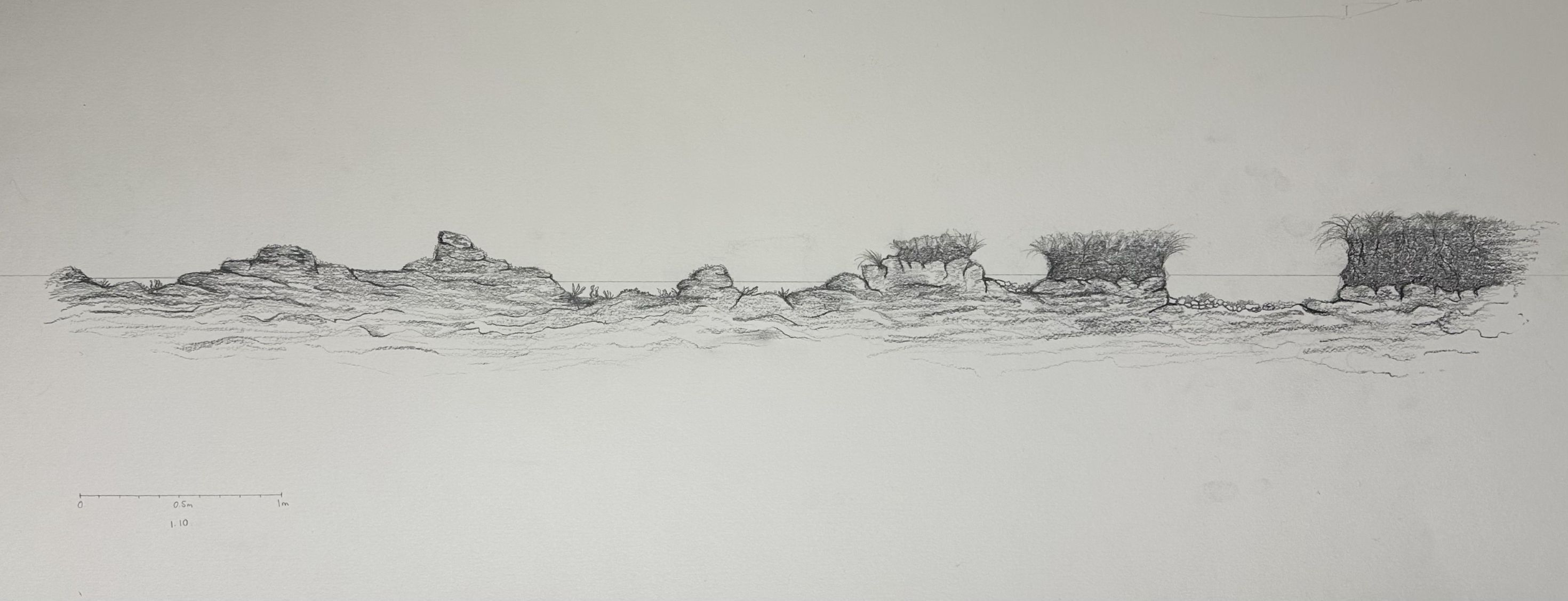
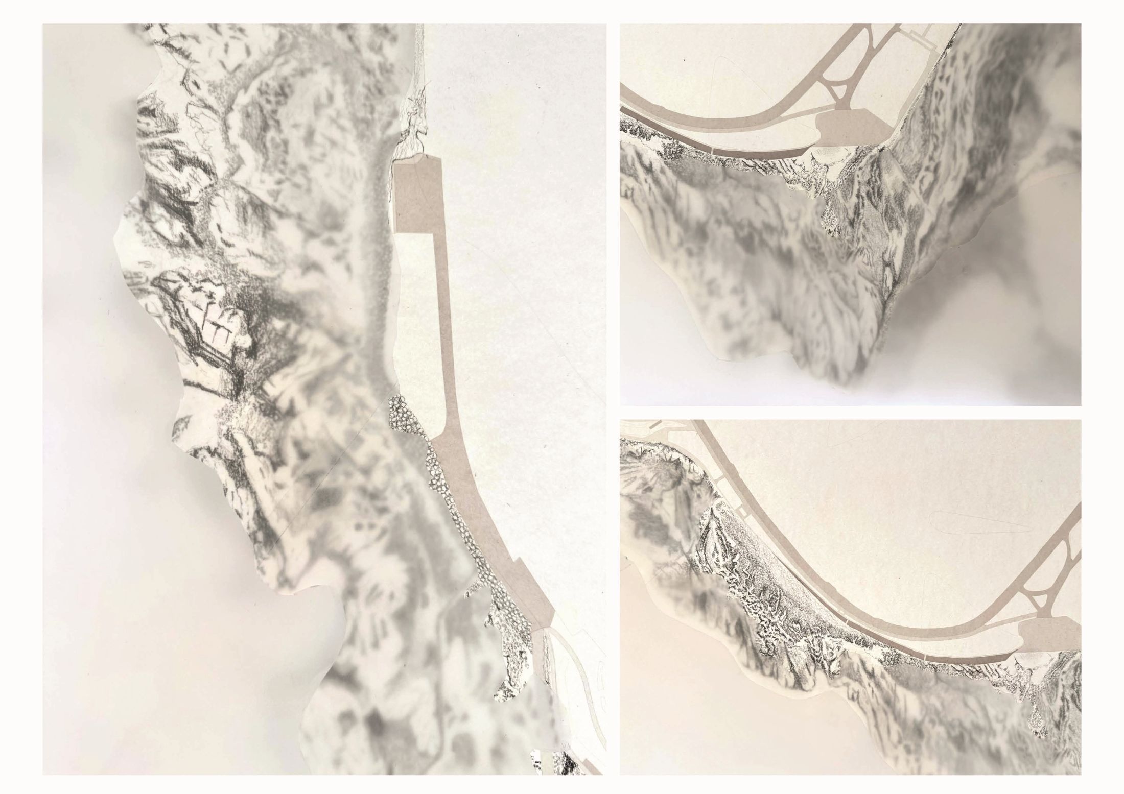
Further investigation into the site’s rock textures, material composition and tidal patterns was carried out using site photographs and aerial imagery to create a scaled drawing of the Northern part of Troons coastline.
Hand-drawing techniques allowed the different rock types to be studied in greater detail, helping to identify where each type is located across the shoreline. Trace paper was then used to overlay the high and low tide lines, making it possible to understand which areas of rock are covered or revealed by the sea at different times. This process continued to inform the design development, supporting an approach that works with the existing rock formations and tidal conditions rather than against them.
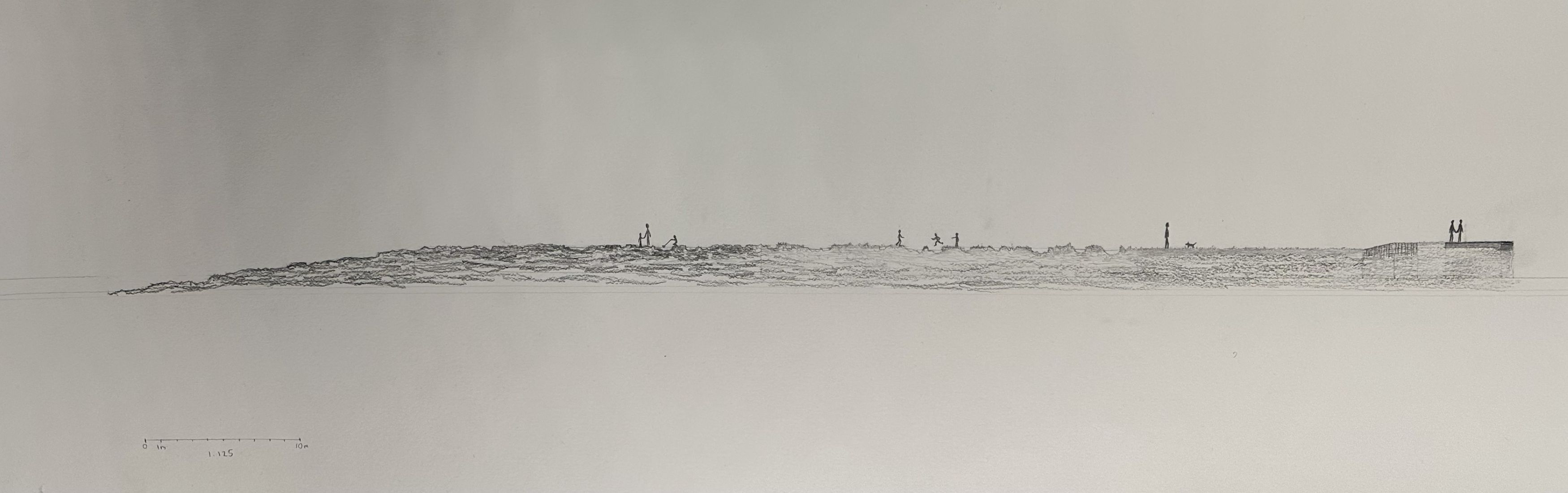
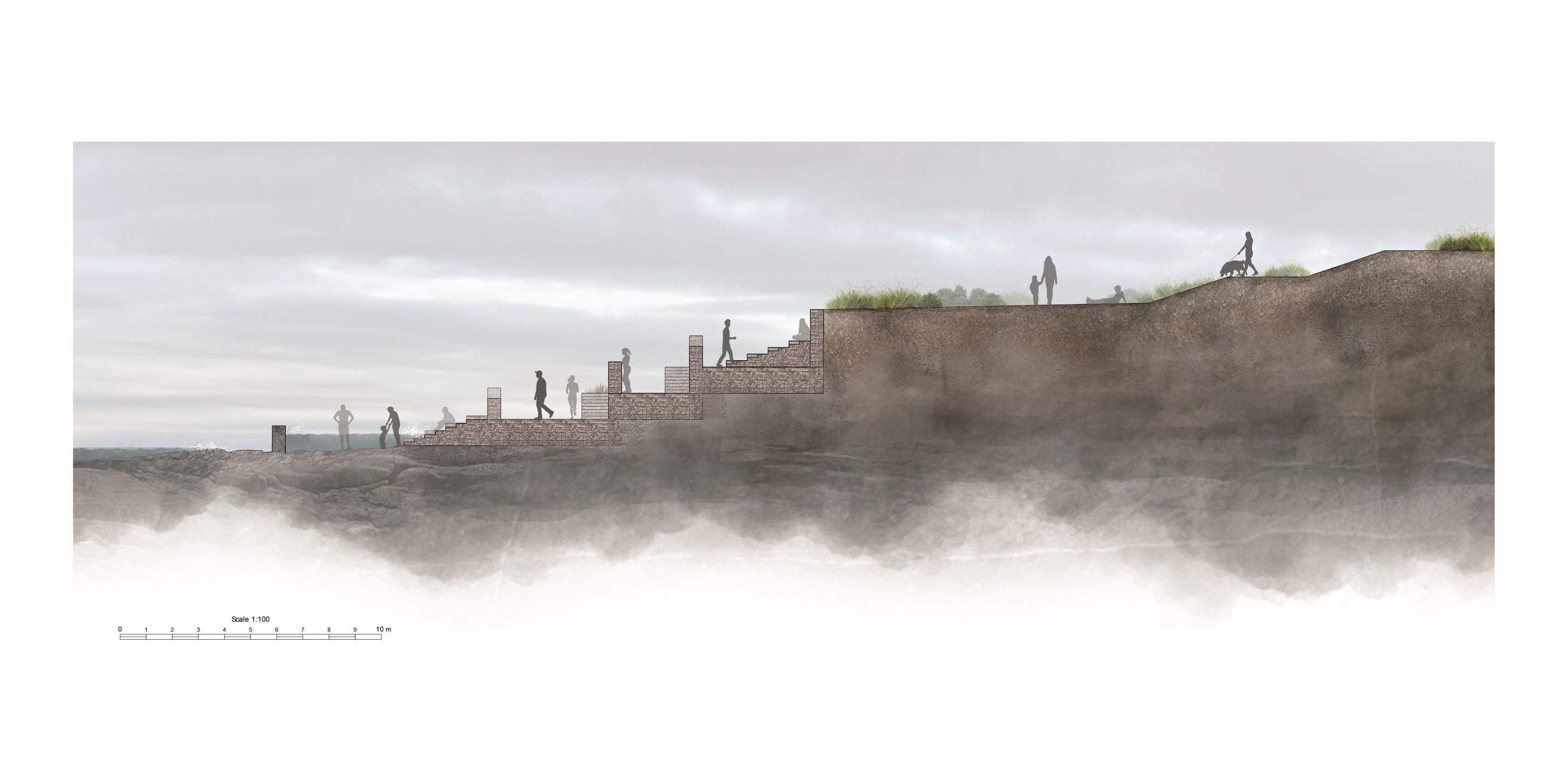
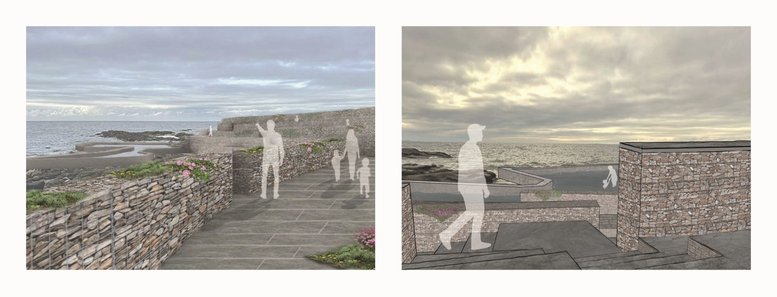
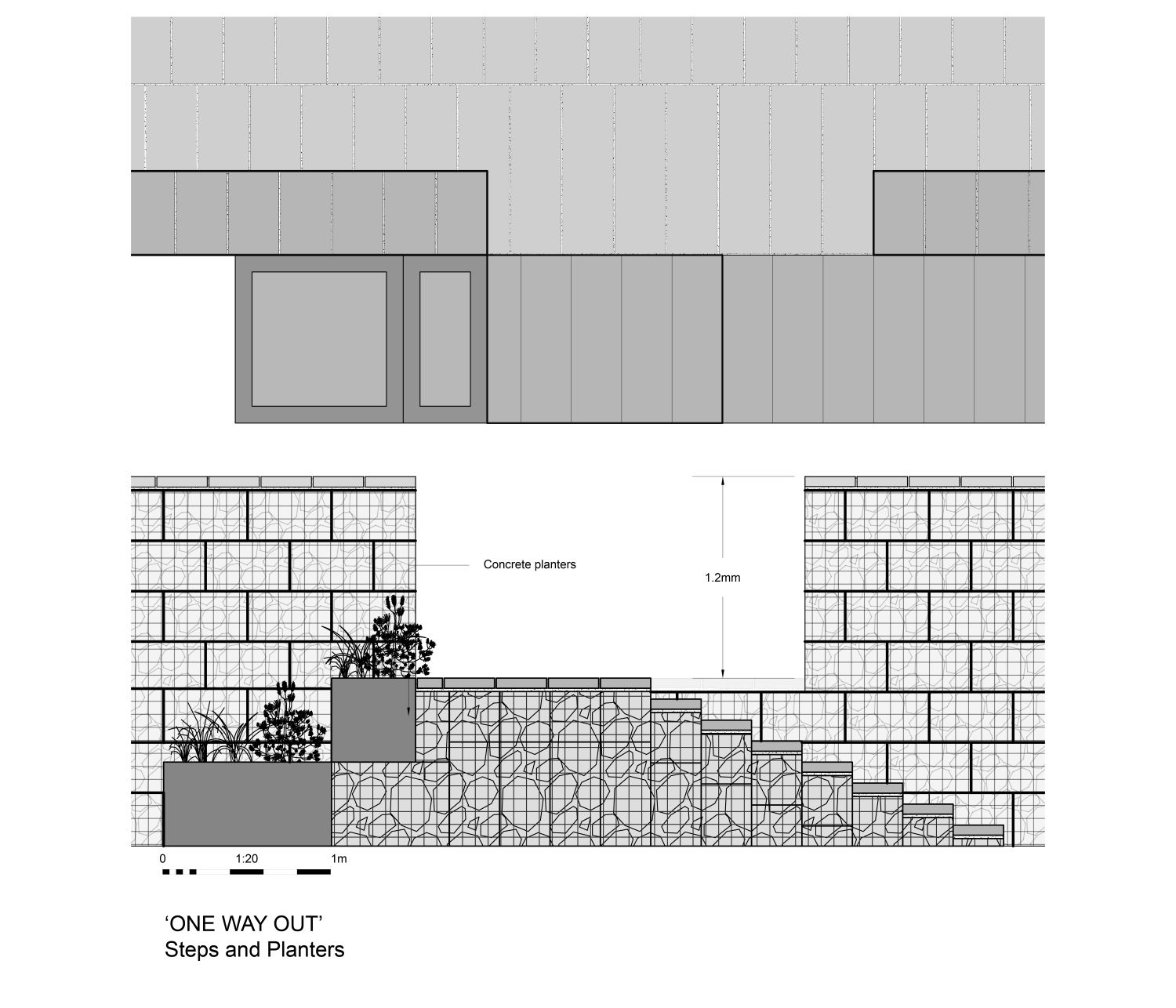
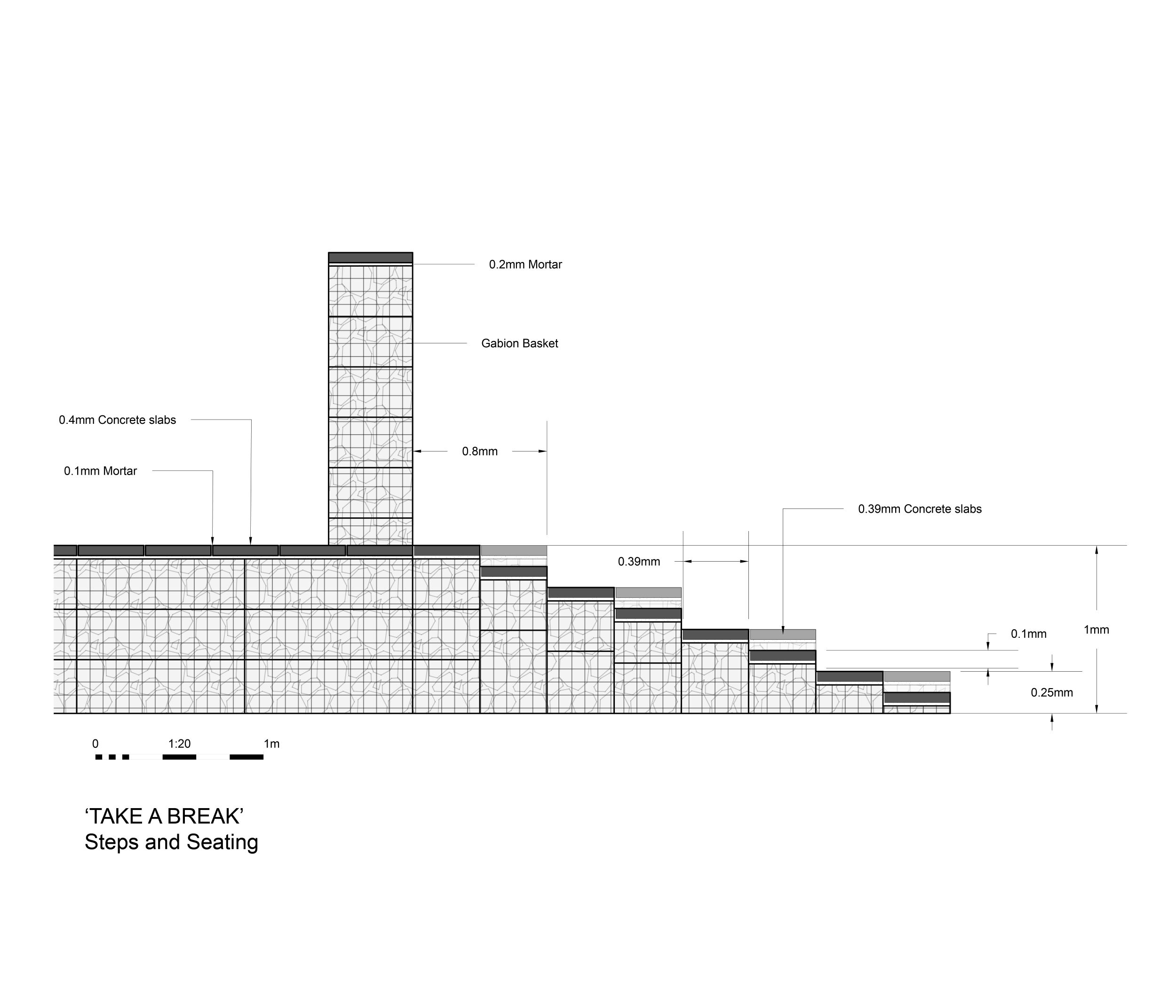
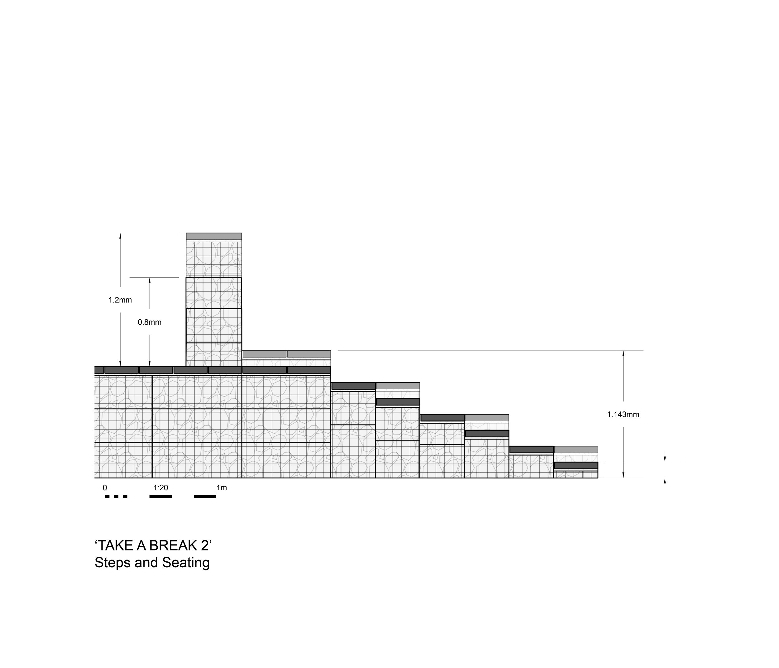
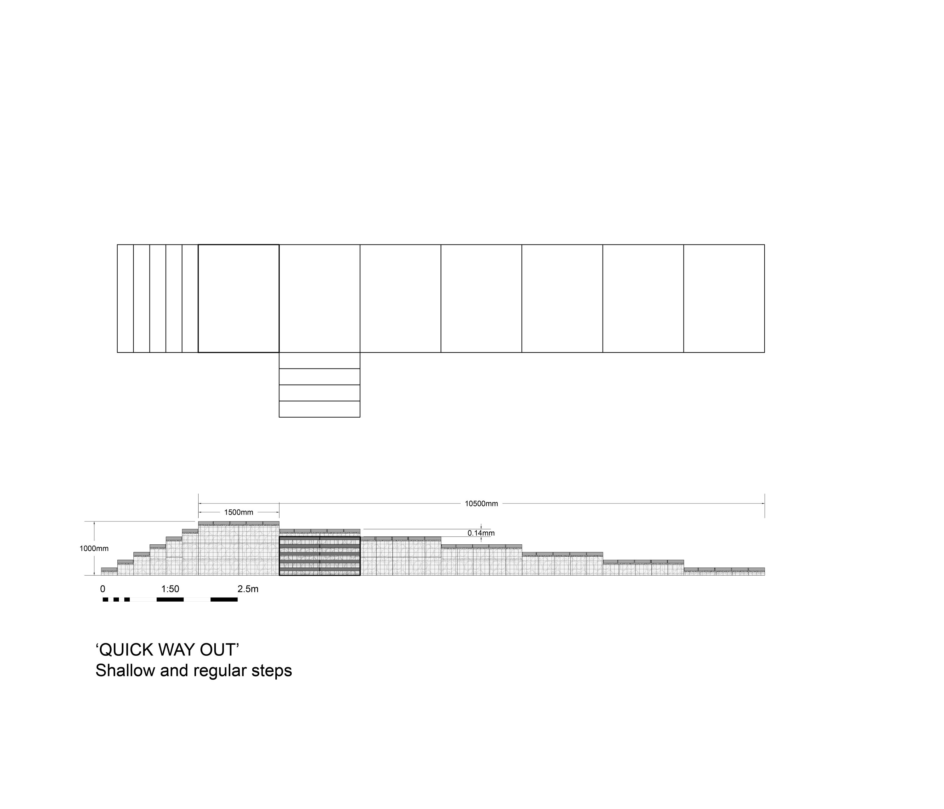
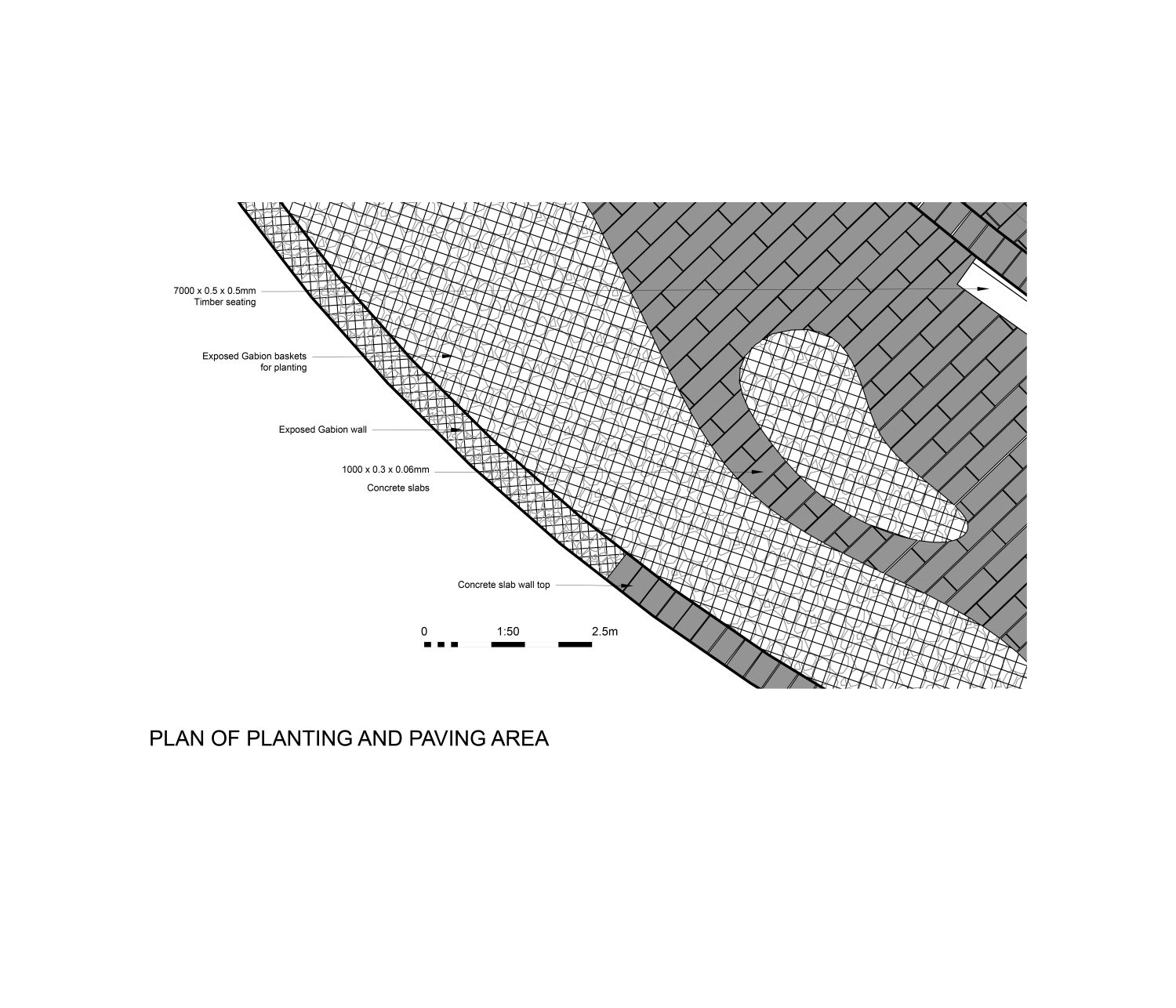
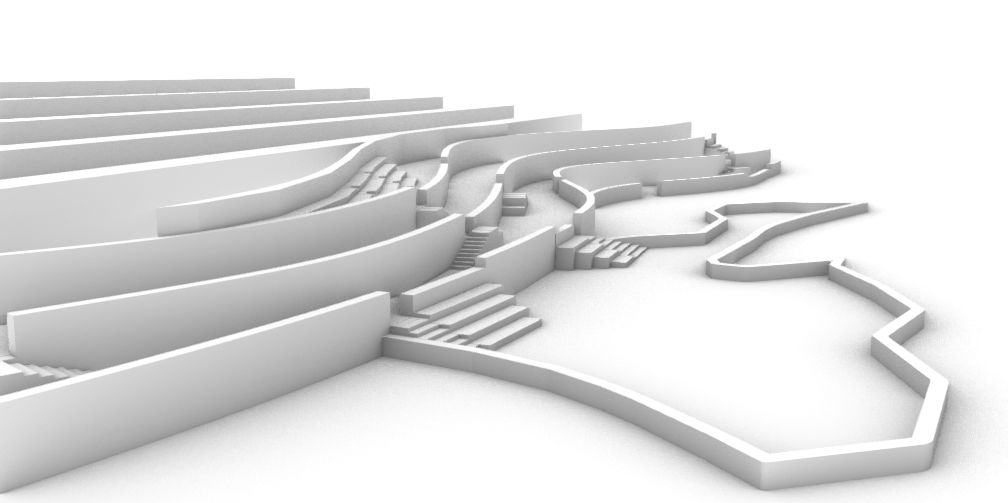
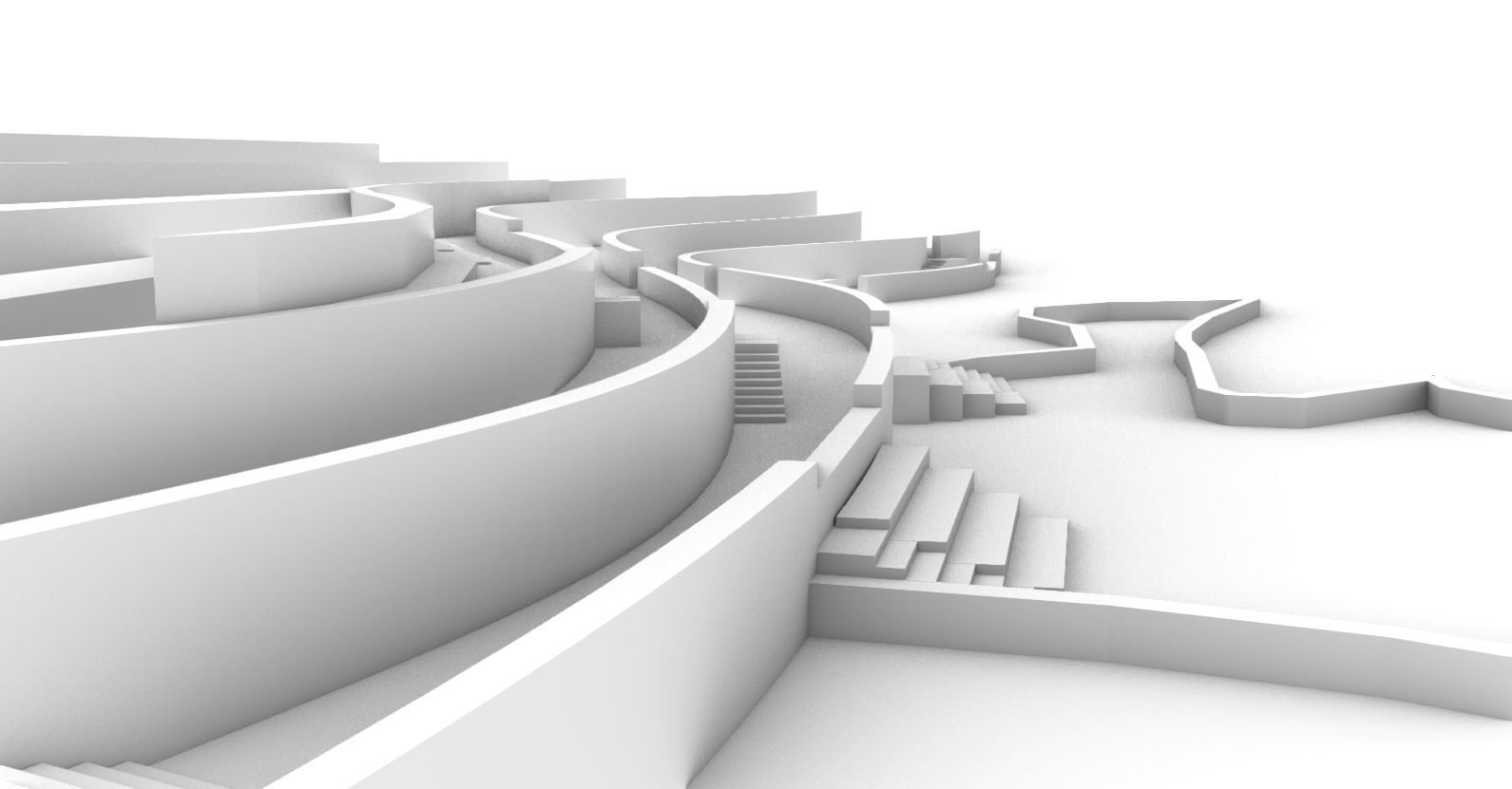
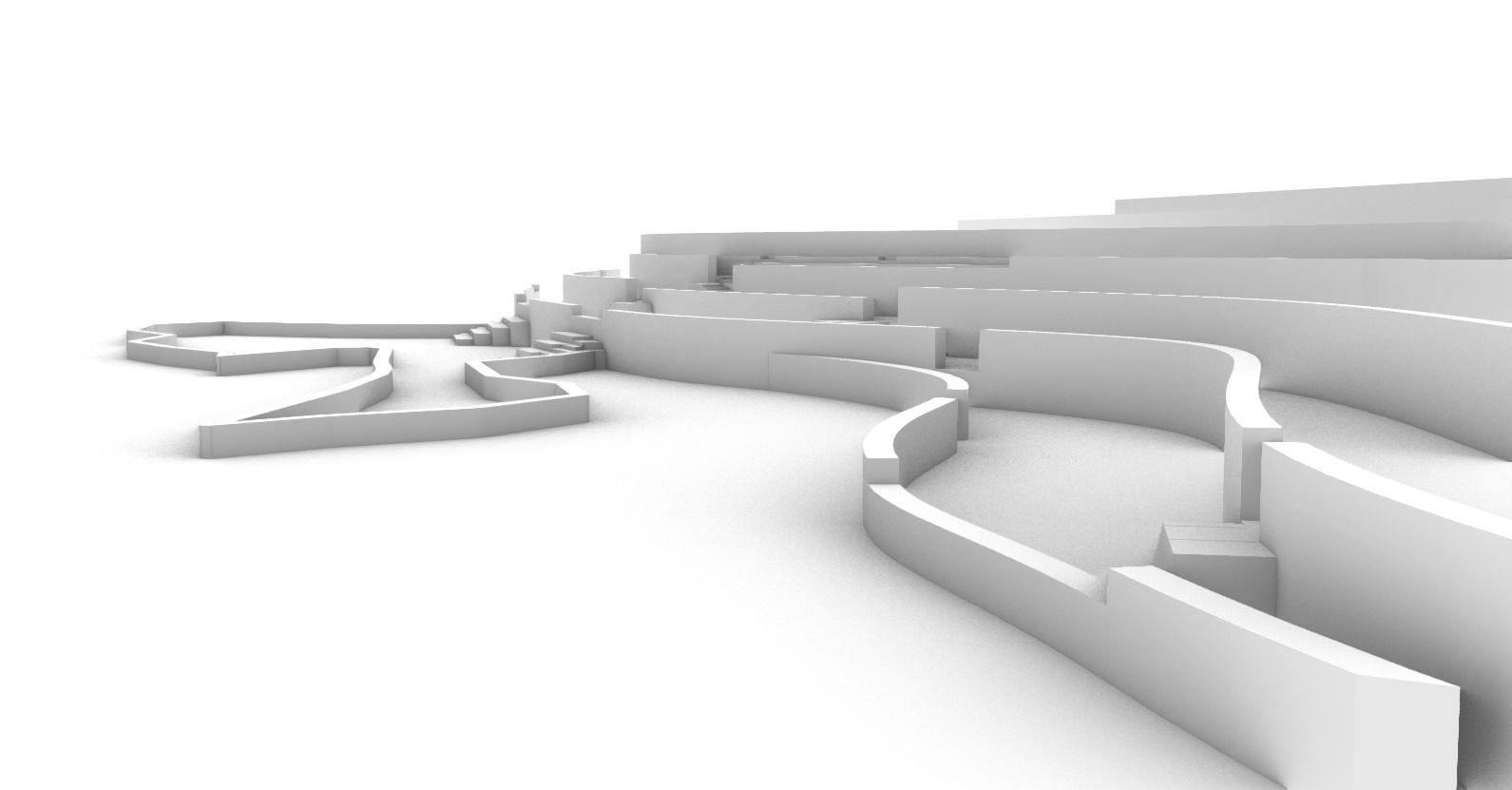
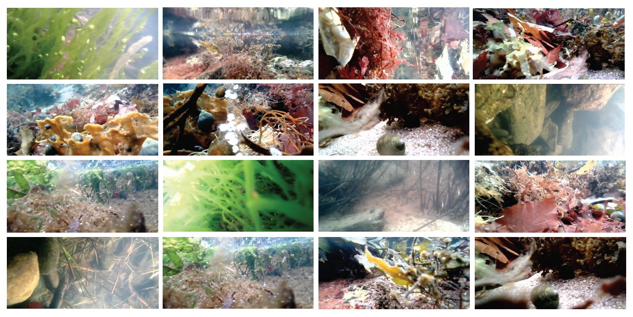
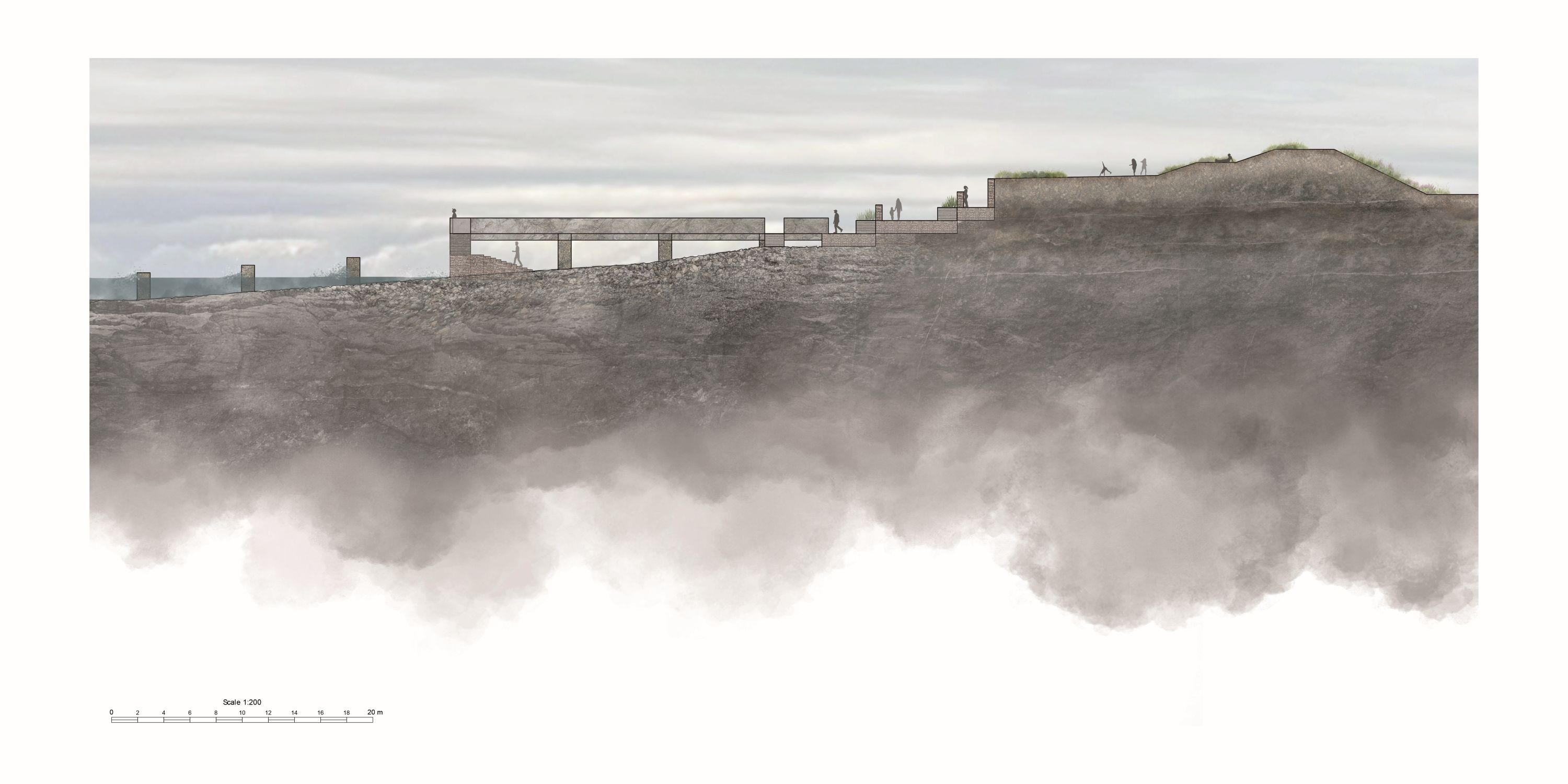
Within the wider framework, the detailed design of Troon’s northern coastal edge acts as a final destination point along the route. The proposal transforms the former ballast bank and its existing coastal pathway into a 300-metre linear terraced tidal walkway. Responding directly to tidal movement, the lower terrace is submerged at high tide and revealed again at low tide, creating a dynamic landscape that changes throughout the day. This approach integrates tidal patterns with the natural coastal environment, allowing users to experience the shifting relationship between land and sea.